
Like most cities in the world Asunción has it’s problems with traffic. Far too much of it moving far too slowly. However once beyond it’s suburbs spaces soon open up and with that a chance to enjoy the view and the ride.
I myself living in the countryside that surrounds Piribebuy am far beyond the reach of an congestion with the only things liable to hinder uninterupted passage being a slow moving lorry or a herd of cattle.
Once I have negotiated the dirt track from the house I arrive at empty tarmac stretching off into the distance to both the left and the right.
Turning left I find myself heading towards Piribebuy. First the road dips down passing on one side a school and on the other a couple country parks. Crossing a bridge over a small river just before the second of these there is then a long sweeping climb to the crest of a hill.
From here on the road takes a more purposeful direct route towards Piribebuy. Straight down to a valley bottom and then up to the next ridge line. Along the way there is an eucalyptus lined turning that heads off towards more country parks.
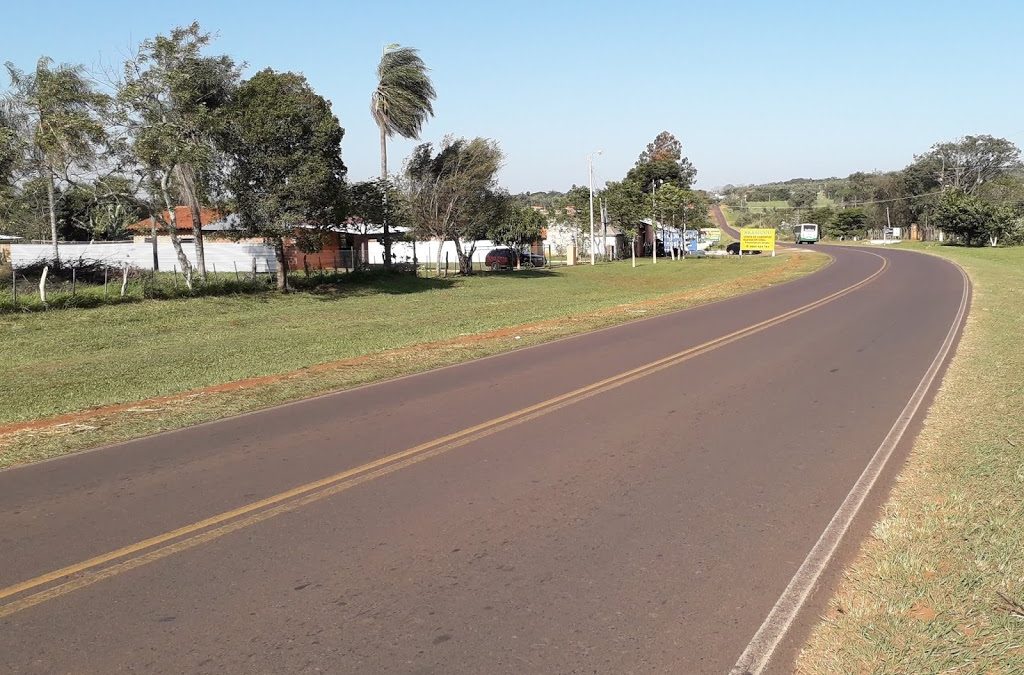
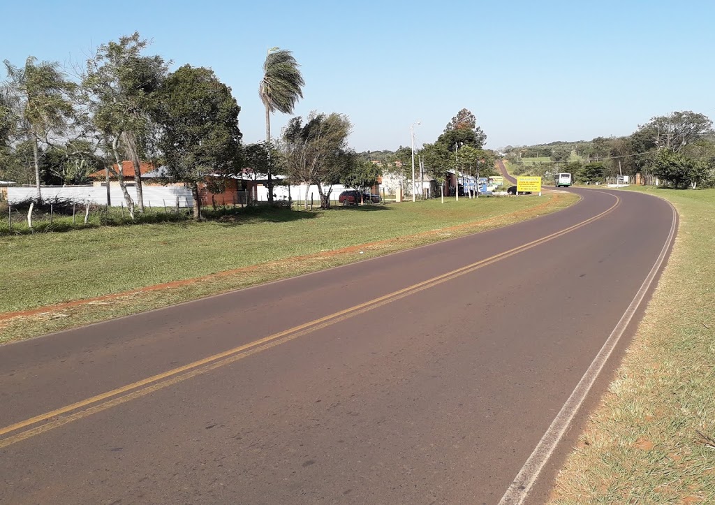
This is sugar cane land and away into the distance on both sides of the road stretch vast plantations. Alongside these homes which double a small stores dot the roadsides.
At the top of this next ridge is a small chapel after which the road dives down through the next valley beyond which after one more summit lies Piribebuy itself.
This is a fine trip to make anyday, free from traffic and sometimes even free from other vehicles. The view along it’s length is a rural one of fields and small homesteads under a big sky.
From Piribebuy the road continues to Caacupe and then onwards to Asunción, but for now I shall return to where I first joined the tarmac.
The alternative to turning left is of course to turn to the right. In this direction the road heads towards Paraguari. It is a longer journey and although still definatly rural very different in character to the one towards Piribebuy.
Firstly in this direction there are far more signs of habitation and less space for the fields to run right up to the roadside.
As the roads dips up and down along the first half of it’s length there are far more houses along the roadside. Enough to form the villages of Capilla Cue and Chololo.
These houses with their brightly painted exteriors and flower beds make this a colourful road. In addition rather than field boundries the road is lined with large trees which often join together above the road creating a long green tunnel shading the road.
This scene continues for about 10km to the small settlement of Km92 where the nature of the scenery changes completely.
Here the road suddenly reaches the edge of the highlands and drops steeply into the flat lands and Paraguari below.
Being a step decent the road becomes more twisted and less direct as it seeks the route of least resistance down and out of the hills.
It is also a very picturesque as the road clings to the very edge of the hill. On one side sheer rocks rise upwards from the roadside. Blasted through when the road was first laid. From amongst these rocks waterfalls fall by the roadside where once streams would have flown. The largest of these is a popular place to come and pose for photographs.
On the other side of the road, at times no more than a couple of feet from it the land drops away steeply to the valley floor far below. Occasionally through breaks in the trees further green tree covered hills can be seen in the distance.
The road winds it’s way down the hillside before suddenly after rounding one more bend the vista opens up and speeding across the flats and onto Paraguari.
Passing finally through a gap between two hills that act as sentinals Paraguari and the end of the journey bursts into sight.
The return trip is one of the few places in this part of the country where anything like a traffic jam could be encountered. If anything slow and bulky is trying to make it’s way up the hill everything is quickly reduced to a crawl. Fortunatly there is still the scenery to be enjoyed until the top is reached.
Recent Comments